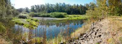
Lones Turley Restoration Project Hydraulic Modeling
The Lones Turley levee reach of the Middle Green River has been identified by King County as one of its top high-value salmon recovery habitat restoration projects for potential implementation. WSE was retained to develop a two-dimensional (2D) hydraulic model to evaluate up to three levee setback projects within this reach.
Role/Services: WSE developed inflow hydrographs for the Green River and tributary Burns Creek, for historic and design events. A RiverFlow2D model was developed from LiDAR and bathymetric surface, calibrated to measured flood events. The 2D model was run for existing conditions and three alternatives for setting back the existing training levees. WSE also prepared color graphics showing modeled flood depths and velocities, and predicted changes thereof, for County staff to present to local residents and other stakeholders with regard to the County's farmland preservation program and zero-rise flood code
Outcome: WSE provided input and discussion, and model results, to County staff with regard to zero-rise and compensatory storage issues. WSE is presently waiting upon County to provide details of the third and final alternative.
