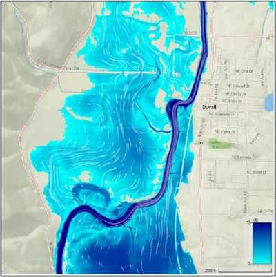
Snoqualmie River 2D Hydraulic Model Study
WSE was retained by King County to develop a 2D hydraulic model of the Snoqualmie River Valley from Snoqualmie Falls to the Snohomish River. The model will help the County understand the timing and sequencing of floods that impact roads in the Snoqualmie Valley, inform the development of future flood mitigation plans, and guide the design of capital projects for the County and local communities.
Role/Services:
- Identified gaps in existing topographic datasets, managed collection of multibeam bathymetric survey to fill data gaps, and mosaiced the best available data to create a omposite topographic surface for the model.
- Developed continuous 30-year historical hydrologic inflow records for the Snoqualmie River and its tributaries using available gage data and continuous simulation hydrologic modeling (where gage data was not available).
- Calibrated the hydraulic model to four historical flood events and assessed model accuracy using all available gage data (USGS, King Co., Floodzilla gage networks) and King Co. high-water marks.
- Simulated existing and future (2080) hydrologic condition design flood events.
- Assessed road flooding (extent and depth) and closure duration for the existing and future (2080) design flood events.
Outcome: King County will use model outputs to inform the identification, prioritization, and
implementation of critical flood risk reduction actions to ensure public safety. The model will also help stakeholders better understand the causes and effects of flooding, especially for lower-magnitude floods, on local communities and related infrastructure. This project is being done in coordination with the Snoqualmie Farm Fish and Flood Implementation Oversight Committee.
