Satsop River Floodplain Restoration Phase II
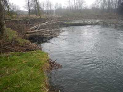
An earlier study for Grays Harbor County concluded that removing a revetment on WDFW-owned property could put Keys Road and other infrastructure at risk without addressing erosion problems of downstream landowners. WDFW began this study to find a more comprehensive, multi-benefit solution to reduce flooding and erosion risk and improve habitat in the lower Satsop floodplain.
Role / Services: WSE was retained to identify and assess several alternative project concepts. The benefits, impacts, and potential future evolution of the most promising alternatives will be evaluated using the SRH-2D hydraulic model developed for the previous project and by conducting in-depth hydrologic and geomorphic analyses. Together with project stakeholders, a preferred alternative will be selected based on the results of the modeling and analysis.
Outcome: The project is ongoing. To date, WSE has met with local stakeholders and, with their input, developed a wide range of project alternatives that were assessed for feasibility and effectiveness. The results of that assessment were presented to the landowners to solicit their input and suggestions. The most promising elements are undergoing further analysis to determine the preferred alternative and guide the project design.
